
I have been off running for almost 2 months after completing TMBT 100 last September, when my friends suggested to explore this new trail in Kiulu under Kg. Sinorut Eco Tourism, the Mayang Endurance Trail 20km loop, I couldn't resist the offer. I needed the time off from everything and get back to what eases the soul.

As the day finally approaches, am getting nervous, I started to regret my decision. But glad I proceeded it.

You could check more about the this particular trail and other trails that this village's eco tourism got to offer from their Facebook page, here or call Roni for enquiries at 016-8108791.
How to get there?
Things to bring:
1. 2 to 3 litres of water. Filtered water is available at the hall (which is also the starting point for this trail).
2. A sufficient amount of food to last you for 12 hours (more or less).
3. Torchlight/headlamp.
4. Med kit.
5. Raincoat (recommended).
6. Whistle.
7. Trekking pole (good for those with knee problem).
8. Long tights (recommended if you wanna avoid cuts and leeches or just wear shorts if you don't mind any of those battle scars).
How much is it?
Based on 5 hiker per guide price is RM38 (inclusive of entrance fee, waterfall fee, guide fee, certificate).
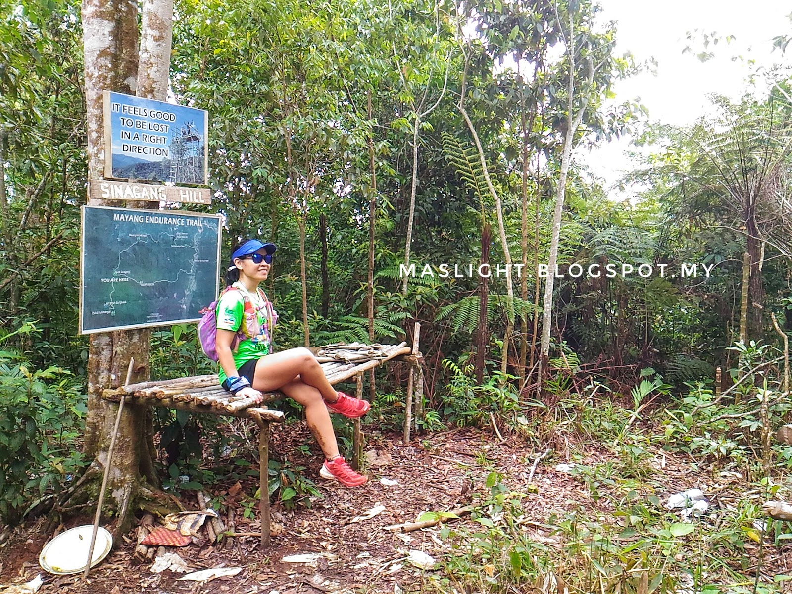
There are 3 hills which is Sinagang Hill (940m asl), Kulintangan (950m asl) and Mayang Hill (840m asl) and 2 waterfalls, Bungkaas and Waig Waig waterfall.

6. Whistle.
7. Trekking pole (good for those with knee problem).
8. Long tights (recommended if you wanna avoid cuts and leeches or just wear shorts if you don't mind any of those battle scars).
How much is it?
Based on 5 hiker per guide price is RM38 (inclusive of entrance fee, waterfall fee, guide fee, certificate).
 |
| Route map |

Starting point is at the hall next to the church at 6:30am. We got there earlier. There's toilet and filtered water. It rained earlier in the morning but glad it stopped by the time we reached Kg. Sinorut, Kiulu.
You can forget about getting online. I think celcom would probably have reception? No yellow ghost following me.
Recommended to wear trail shoes (with grip) or adidas kampung will do.
 |
| Angkol Likin, our guide yang fit sama si putut |
 |
| Start of climb |
 |
| Taking a moment to digest this view |
 |
| One of many river crossing |

Our route goes through Sinagang Hill, where the lookout tower is located, minimal amount of leeches spotted, to Mayang Hill, overlooking Kokol Hill and Waig Waig waterfall.
 |
| Notice the single trail going up? |
 |
| Resting |
Passing a lot of bamboos along the way. Love this! My favorite spot for photos.


A lot of steep uphill to make you stop to breathe, thankfully weather was forgiving. I think I would die if it's hot. You will burn a lot from this hike.

Putut, the dog was with us, marking his territory along the way.
Arrived the 2nd highest point 940m, Sinagang Hill before 10am. Resting spot and had early lunch.
I was excited to go up this lookout tower. It looks high but I think it's a decent high.


 |
| This crazy women is my motivation to climb trees hehe |

It's sturdy except that top part, Mag tested it.
I got myself a souvenir.
The part after Sinagang Hill is mostly steep downhill, bring poles if any or the guide will make you a gandalf stick hehe.

A lot of flats and steep downhill along bamboo trees and ferns. I occasionally slide down coz it was too steep and barely anything to hold on. I even got some dirt into my pants. That's what makes it fun.


Arrived Mayang Hill before noon.


Beautiful view of Kokol Hill from here.

Proceed to Waig Waig waterfall.


It started to pour by 1pm.
 |
| Liposu/ apple sabah kasi bikin jeruk, thanks angkol |

Reached Waig Waig waterfall by 2pm. Unfortunately, I managed to snap 1 photo and 1 video only (I was covering my phone with the hypergear drybag, fearing that I might broke my phone again).
Estimated completion time for this route is 12 hours. We completed in 8 hours, we were so hungry. Btw you can shower at the toilet there.
 |
| Aftermath, katam jualah kaki, chafing on both inner thigh again, huhu |
20km felt so long but it's a good place to train. It's a fun and a wonderful trail, it'll work your limbs.
The best after a long hike. They have food selling at the hall.

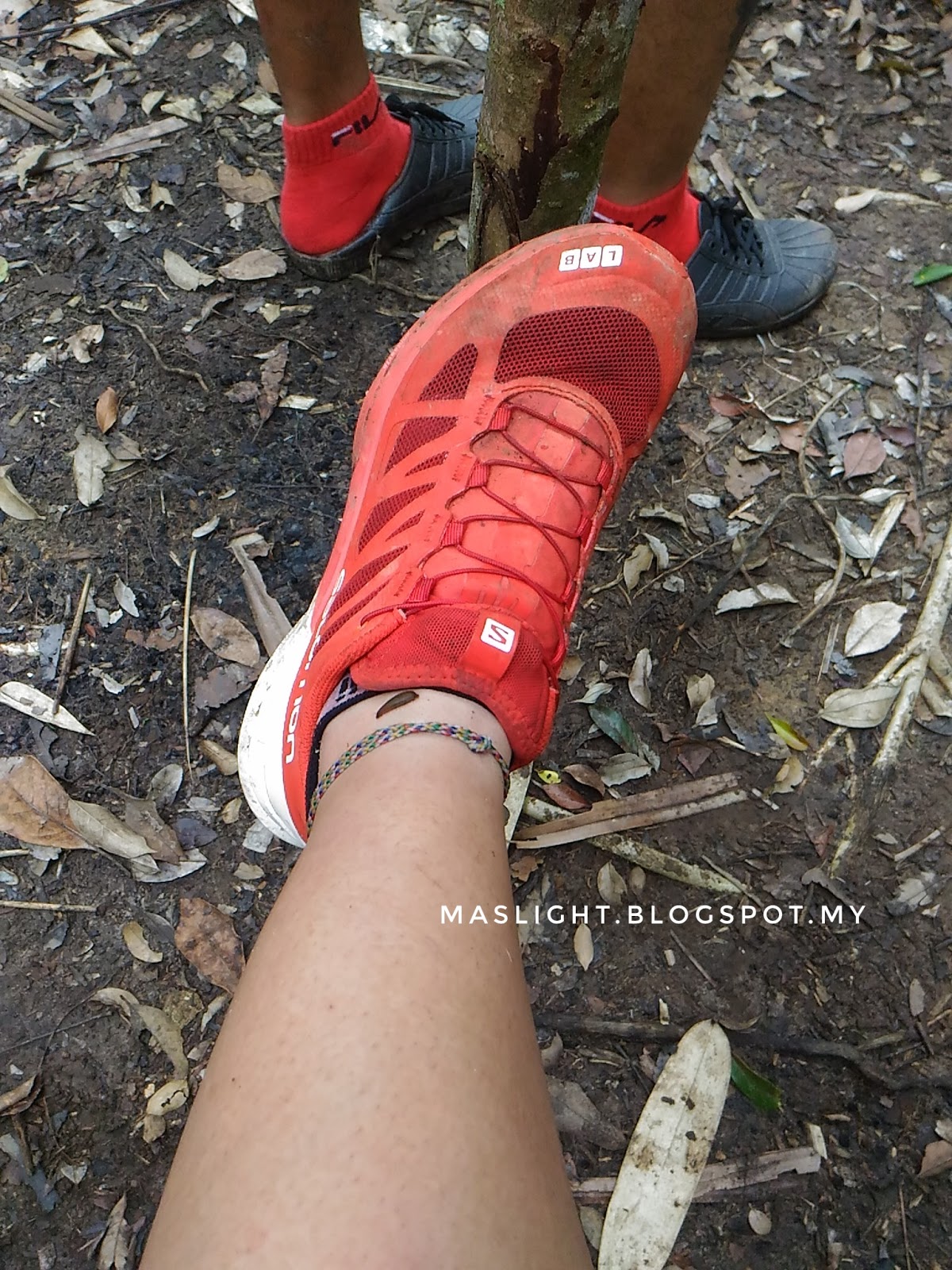
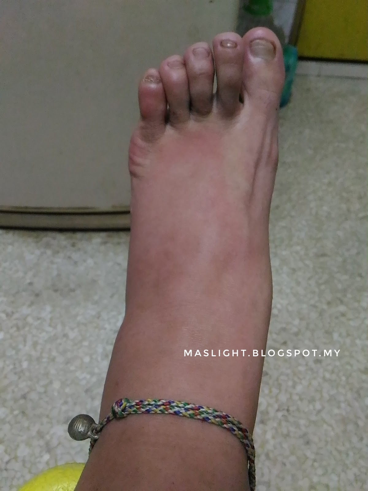
Left foot swollen from a chain reaction.

It's just itchy and looked busted. How it'd look on Day 2 (please ignore my toe nails).
I think it's slowly recovering. Doesn't itch as bad.
Till my next adventure. Enjoy!
No comments:
Post a Comment